

Disorganized data and too much software are eating away at your project margins. Stop wasting billable hours transferring data between disconnected drafting and estimation packages.

“We see at least a 30 percent time savings on large projects when performing feature extraction and classification in TBC. The comprehensive information generated adds value and helps us meet and sometimes exceed customer expectations.”
— Alex Garcia, national manager, mobile solutions, GeoVerra
Engineered to meet your needs for speed and accuracy

Decision-grade data QA/QC
Verify raw GNSS baselines, observations and total station measurements natively. No more manual spreadsheet guessing. Catch and correct metadata errors in the office before they reach drafting, eliminating costly field rework.

Direct-to-CAD drafting canvas
Plot professional plan sets, classify point clouds and export flawless IFC, DXF or TRMBIM models directly to Trimble Connect® common data environment without losing precision.

Rapid civil construction data prep and takeoffs
Import 2D design PDFs or CAD alignments and transition them straight into cut / fill earthwork calculations. Generate automated volume reports to bid faster and win backlogs.
“We build a lot of models. We have great engineering staff and use Trimble Business Center to crank out a model for every project, a skill that helps us optimize project work — whether paving a road or installing drains — to ensure we deliver quality results.”
— Chris Higgins, vice president of construction and engineering, Scotty’s Contracting & Stone, LLC
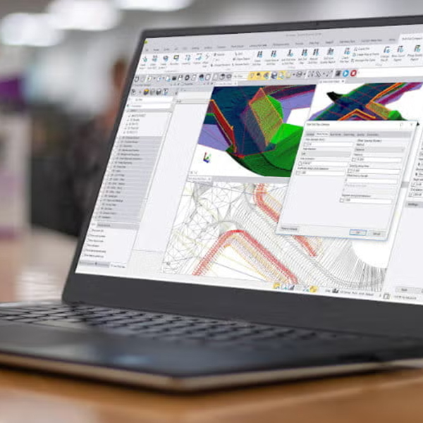
Accelerate your trial with expert onboarding resources
During your 21-day risk-free trial, you’ll get full, unrestricted access to TBC’s advanced modules — including terrestrial laser scanning, photogrammetry, UAS processing and automated 3D linework with intuitive feature codes. Ready to buy? Our modular ecosystem ensures you only pay for the specific commands and modules your team relies on.
We’ll get you moving past the blank screen with helpful tutorials, get-started guides, sample data and more, sent to your inbox throughout the trial.
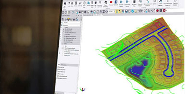
Stop juggling disconnected software. Try TBC for 21 days.
Don't let site delays or disconnected tasks bottleneck your business. Verify that your system specs are ready and activate your 21-day trial today.

Trimble Inc. and Affiliates
10368 Westmoor Dr. Westminster, CO 80021


Terms of Use Privacy Statement Trademark Information Do Not Sell My Personal Information ©2026, Trimble Inc. and Affiliates